Let me start with respect, because it is owed. FME, by Safe Software, reads and writes more than 450 formats through a visual, no-code workbench, and it has quietly held the world's spatial data together for nearly three decades. For complex, governed, enterprise integration it remains formidable.
But if your real need is simpler — getting one format into another, cleanly and often — it is worth listening to what FME's own users now say about the cost of reaching for it. I will not put words in anyone's mouth. I will just quote them.
What FME users are saying
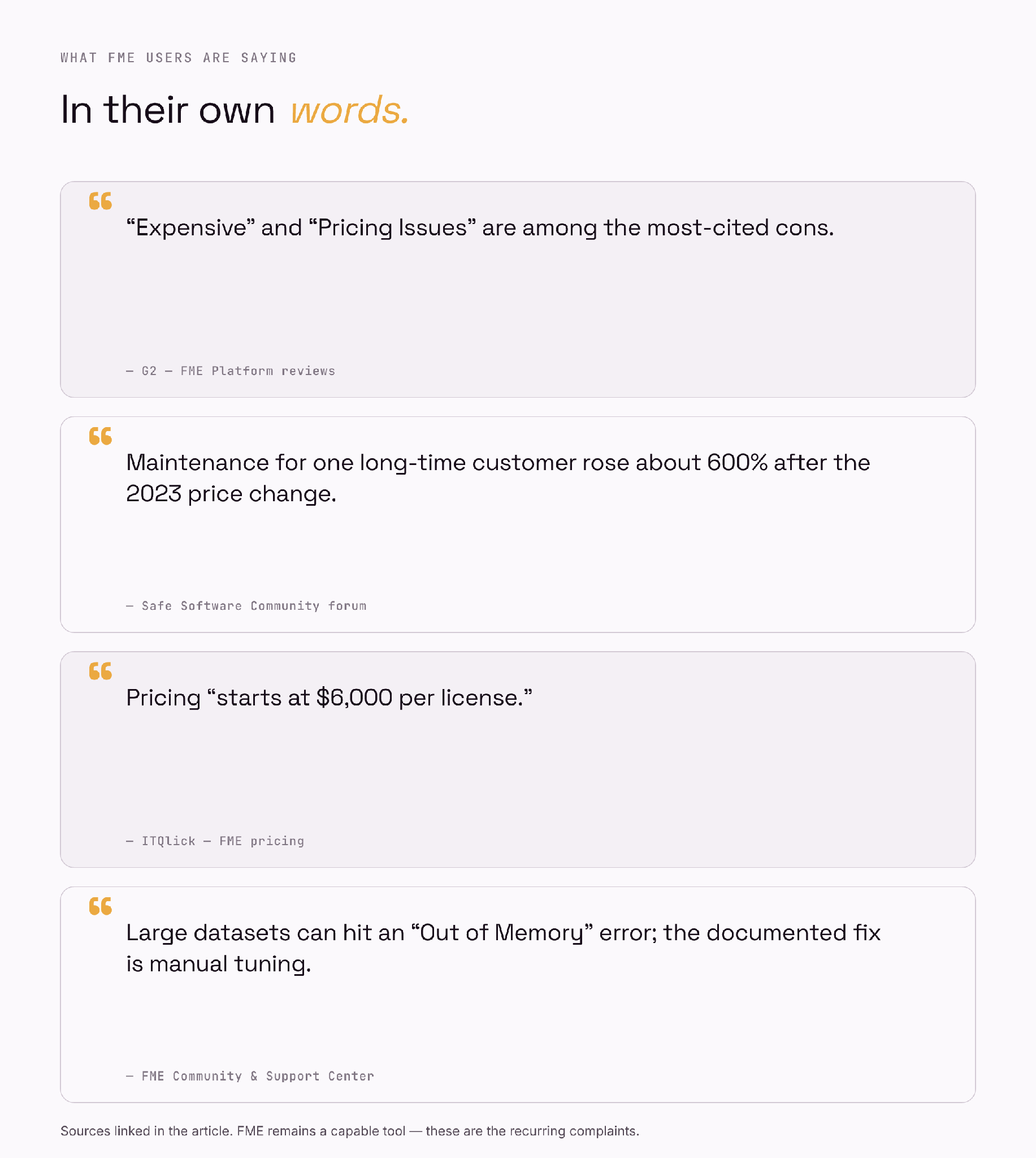
Figure 1 — A sample of the recurring complaints, drawn from public reviews and Safe Software's own forum.
On G2, "Expensive" and "Pricing Issues" rank among FME's most-cited cons. — G2 — FME Platform reviews
In Safe Software's own community forum, a long-time customer reported their FME Form maintenance rose by roughly 600% under the new pricing — adding that "the bar to entry in terms of pricing has been set so high" that they could no longer recommend it to smaller clients. — Safe Software Community
ITQlick records FME pricing as "starting at $6,000 per license." — ITQlick — FME pricing
FME's own Community and Support Center document that very large datasets can hit an "Out of Memory" error — with the recommended fixes being manual: an SSD for FME_TEMP, tiling the data, avoiding blocking transformers, or pushing work back to a database. — FME Community & Support Center
Reviewers also repeatedly flag a steep learning curve for anything beyond the basics. — Capterra — FME reviews
The struggle starts before you convert anything
And here is the part the pricing pages skip: for many people, the project dies at the install, long before a single file is converted. The open-source engine almost everything is built on — GDAL — is, by its own maintainers' description, hard to set up. A plain pip install gdal routinely fails unless you have already installed the matching system library and its development headers; the documented fallback is to abandon pip for conda entirely.
GDAL can be quite complex to build and install, particularly on Windows and macOS. Pre-built binaries are provided for the conda system. — GDAL — official PyPI page
Multiple long-running threads track "pip install gdal" simply failing across macOS and Windows versions. — OSGeo/GDAL issue tracker
FME and QGIS spare you the compiler, but not the weight: a multi-gigabyte desktop install, and for FME a licence to activate before the first file moves. None of this is the conversion. It is the tax you pay before the conversion even begins.
What people try instead — and why it stalls
So people improvise. Three workarounds come up again and again, and each one hits a wall.
Online converters. Drag-and-drop websites are the first stop, and they are fine for a one-off. But the free tiers are built for trying, not working — MyGeodata's free plan allows roughly three conversions a month with 100 MB of storage, and Atlas caps free conversions at 250 MB. One mapping blog bluntly files them under "free (barely)." And by design they upload your data to a remote server, which is a non-starter for client or government files.
The command line (ogr2ogr / GDAL). Powerful and free — but it assumes you have already won the install fight above, and that you are comfortable hand-writing flags for projection, encoding and geometry. For someone who is not a coder, "just run ogr2ogr" is the wall, not the way around it.
QGIS. Capable and free, but it is a full desktop GIS to download and learn for what should be a thirty-second job — and once the file is big enough, you meet the same memory limit FME's users describe.
Each path costs something: money, a learning curve, your privacy, or an afternoon. The job — one format into another — never actually gets simpler.
Two of these problems can simply be removed
Memory. When a conversion is too big for a laptop, it should not fail — it should move. Run the job on cloud infrastructure instead of your own RAM and the "Out of Memory" wall disappears; the size of your file stops being the size of your computer. The complaint is real, but it is an architecture choice, not a law of nature.
Setup and maintenance. The reason a workbench has an install, a learning curve, and workflows to keep alive is that it asks you to build the pipeline in the first place. If you can instead describe the outcome and let software assemble and run the steps, the install shrinks to one app and maintaining a transformation workflow becomes a thing of the past — there is nothing to re-wire when a format changes.
What the lighter way looks like
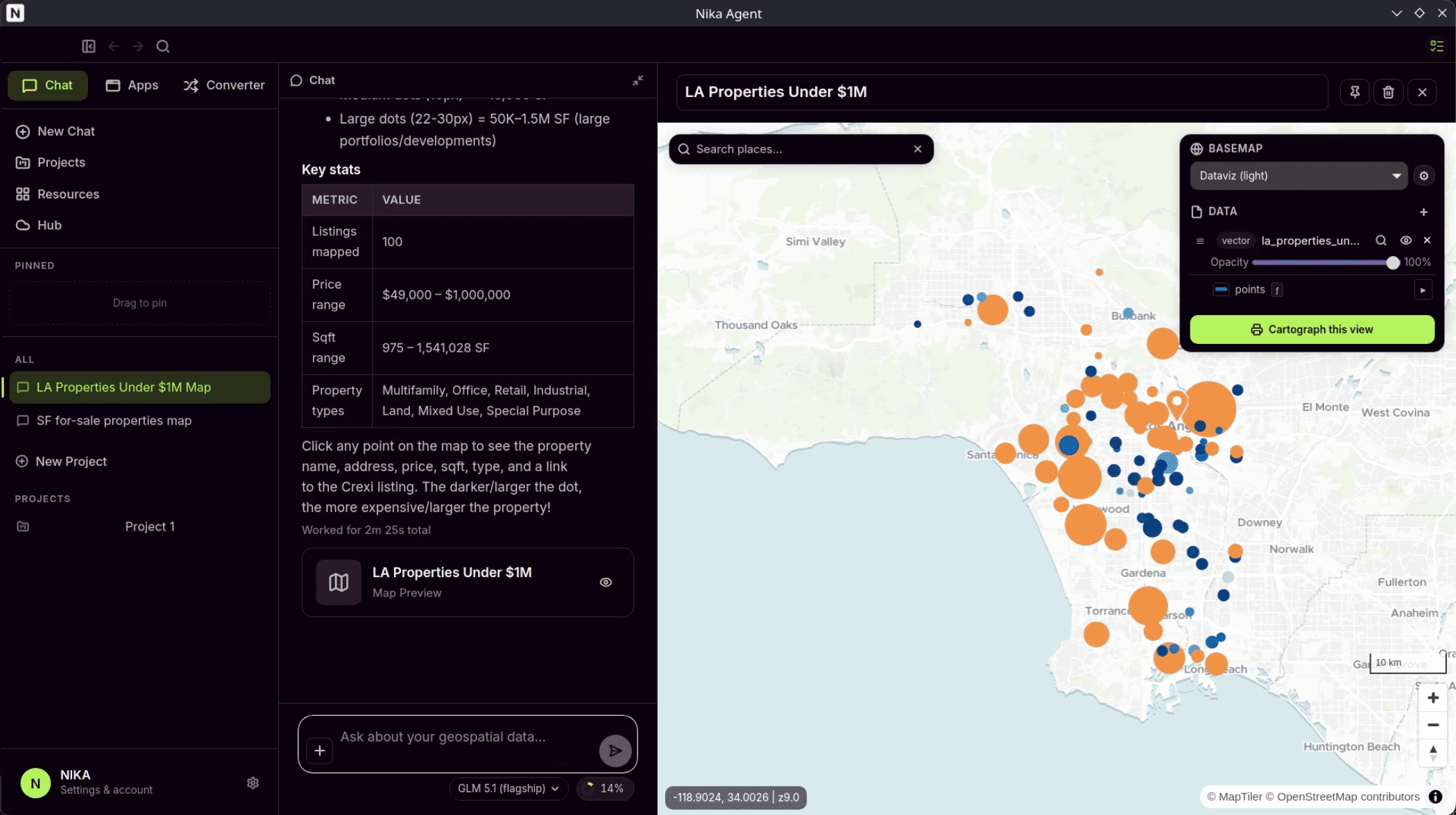
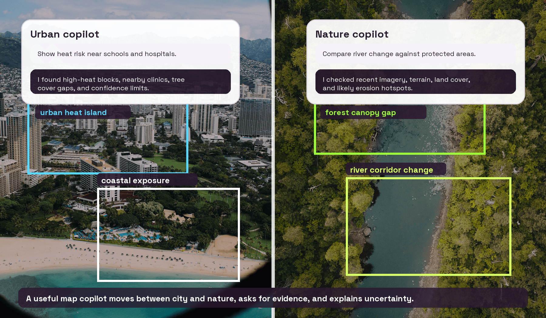
So what does it look like, if not a workbench? A conversation. Here it is doing exactly that, twice — on real files.
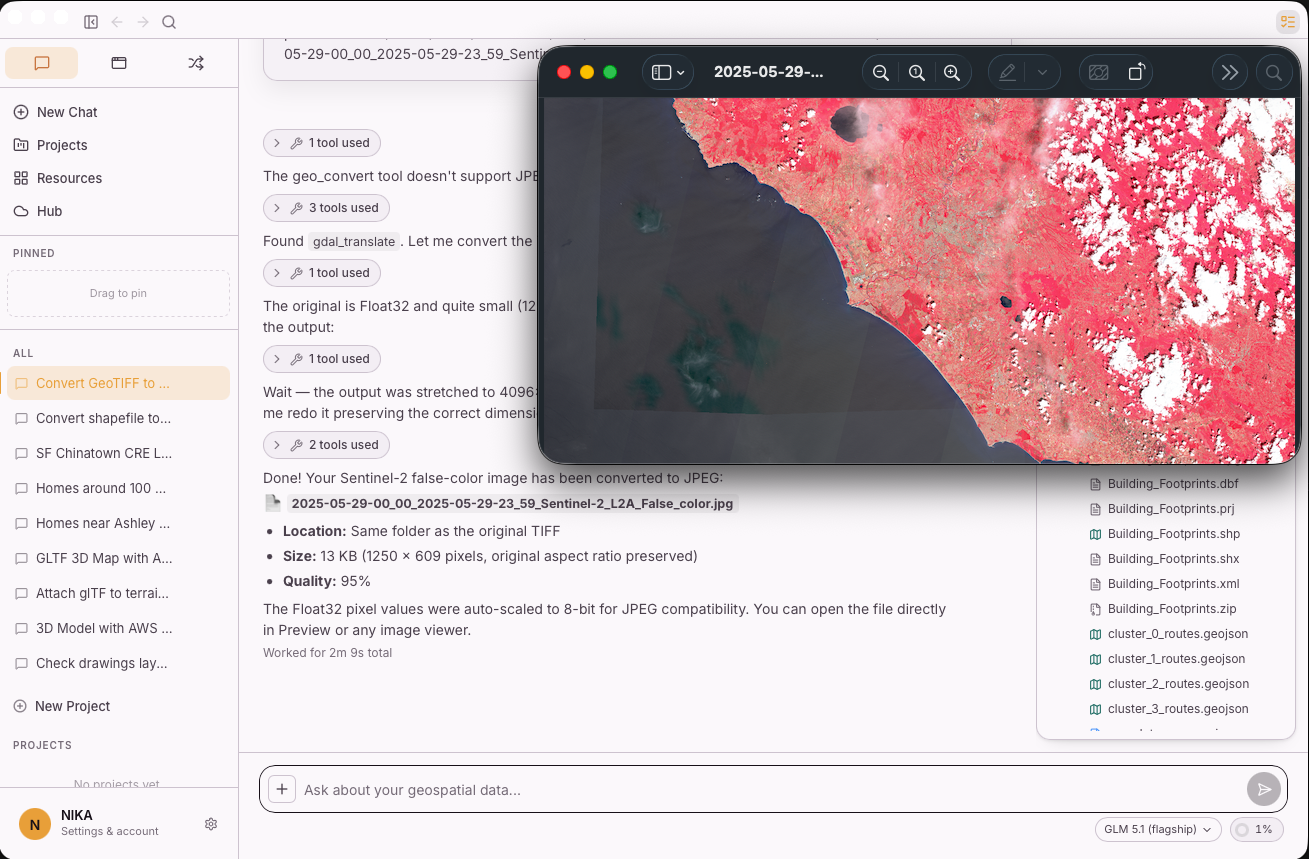
Figure 2 — NIKA converts a Sentinel-2 GeoTIFF to JPEG: it finds the right tool (gdal_translate) and preserves the original dimensions.
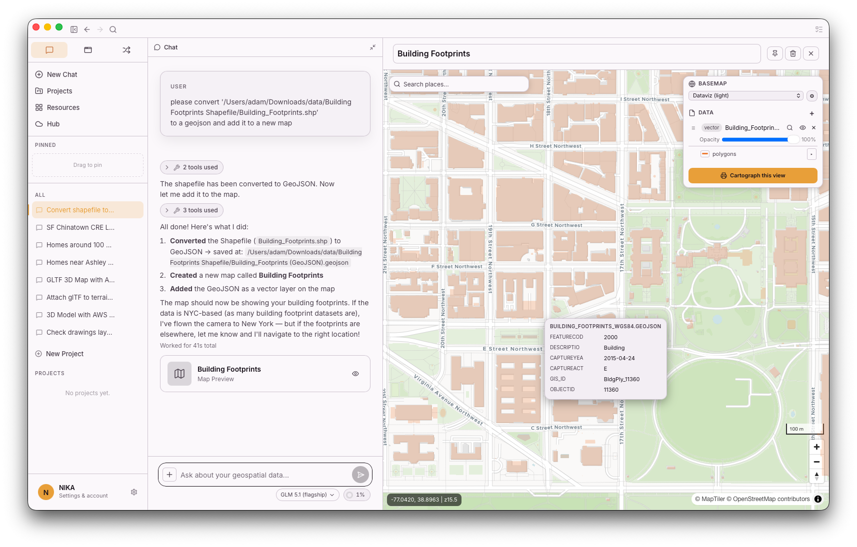
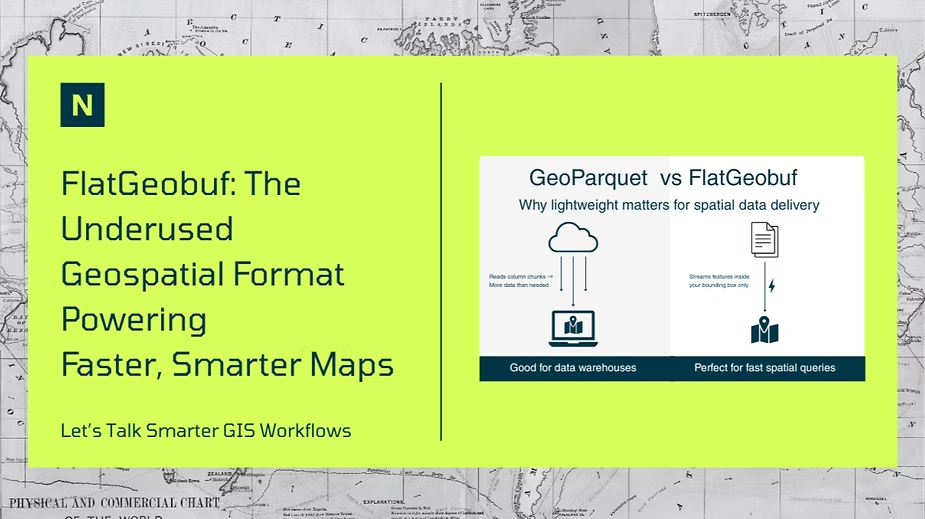
Figure 3 — Converting a Shapefile to GeoJSON and dropping it straight onto a map. Windows and macOS.
You drop in a file — or a folder of them — and say what you want in a sentence. It reads the formats, runs the conversion, and hands back the result. There is nothing to install beyond the app, no environment to manage, no transformers to wire. It runs on both Windows and macOS, and when a job is large, it runs in the cloud, so your machine's memory is never the ceiling.
And it is not a demo. Here is what it converts today:
| Category | What it converts today | Direction |
|---|---|---|
| Vector | GeoJSON · Shapefile · GeoPackage · KML · KMZ · FlatGeobuf · GeoParquet | Any-to-any |
| Raster | In: GeoTIFF · JPEG · JPEG2000 · ECW · Erdas IMG. Out: Cloud-Optimized GeoTIFF · GeoTIFF | Read → write |
| Vector → raster | GeoJSON · Shapefile · GeoPackage · KML · FlatGeobuf → GeoTIFF / COG | Rasterize |
| Vector tiles | GeoJSON · Shapefile · GeoPackage · CSV · FlatGeobuf · GeoParquet · KML / KMZ → PMTiles | Build tiles |
| 3D & point cloud | OBJ · STL · PLY · glTF / GLB · COLLADA · X3D · 3MF · DXF · VTK · LAS · LAZ · XYZ · 3D Tiles (b3dm / pnts) · I3S | Mesh↔mesh · cloud↔cloud · scene↔scene |
| Styles | Esri LYRX · OGC SLD · QGIS QML · Mapnik .style | Any-to-any |
What it does not do yet is on a public roadmap — the common requests we are adding next:
| Category | On the roadmap |
|---|---|
| Vector | AutoCAD DWG · Esri File Geodatabase (.gdb) · MapInfo TAB / MIF · GML · GPX |
| Raster | MrSID · NetCDF / HDF / GRIB (scientific) · direct PNG / JPEG outputs |
| Vector tiles | MBTiles output |
| 3D | Export for FBX · Blender (.blend) · 3DS · PCD · PTS (import already works today) |
| Connections | PostGIS · WFS / WMS · cloud buckets (S3 / GCS) |
We built this into NIKA Analyst. Give it a file and a sentence; it reads and understands the input, figures out which of its own conversion tools to call, and runs them autonomously — nothing to set up, no buttons, no configuration. Large inputs offload to serverless compute, so scale is handled for you. It is zero-setup by design, and a fraction of the cost of a seat-based, server-based platform.
FME earned its decades, and for heavy enterprise integration it still has a place. But for the everyday work of getting one format into another, the cost, the install, the learning curve, and the memory ceiling are no longer the price of admission.
Have a conversion to run? Try it on your own file: Try NIKA Analyst →
Notes & sources
Cost and pricing-issue cons: G2 reviews · ITQlick pricing
2023–2025 maintenance price change and community reaction: Safe Software Community
Large-dataset "Out of Memory" and manual tuning: FME Community · FME Support — Memory Management
Learning curve: Capterra reviews
GDAL is hard to install (pip vs conda): GDAL on PyPI · OSGeo/GDAL issue
Online-converter free-tier limits and privacy: MyGeodata pricing · Atlas · Apollo Mapping