STEP 01
Ask in plain language
Point NIKA at the folders, files, and documents to inspect.
An autonomous AI data analyst that reads your files, searches external and satellite sources, and delivers the analysis as a report or map.
See it run
Pick a workflow and watch NIKA work it end to end — you ask in plain language, it thinks, then hands back the answer and the artifact you need. The demos rotate on their own.
Location-aware AI
NIKA is a superset of generic agents like ChatGPT, Claude, Gemini, and Manus. It does everything they do with text — then goes further, understanding real coordinates and location data so it can associate every result with real-world assets.
Compare our 3 candidate store sites and brief the team.
Based on the numbers you pasted, Site B looks strongest. I can’t open a map or read coordinates, so here it is as text.
Compare our 3 candidate store sites and brief the team.
Found all 3 sites and scanned foot-traffic in their catchments. Site B wins.
Generic AI agents
ChatGPT · Claude · Gemini · Manus
NIKA Analyst
Everything generic agents do — and more
Common use cases
Point NIKA at your files and the data sources your industry already uses, and it runs the analysis on its own — from real estate and quantitative finance to agriculture, logistics, and disaster response. Flip any card to see how.
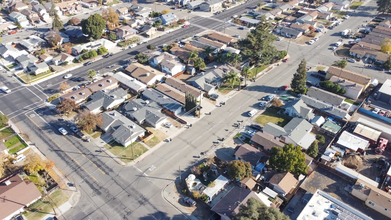
For multi-location operators, CRE teams, and franchise development — car wash, QSR, and retail chains deciding where to open, which sites to close, and which deals to sign.

For PMs and alt-data analysts — turn store visits, card spend, and shipping movement into tradable location signals.

For underwriters and cat teams — price flood, wildfire, and wind risk at every address and control accumulation.

For defense and intelligence teams — fuse imagery, sensors, and reporting into one common operating picture and act on it.
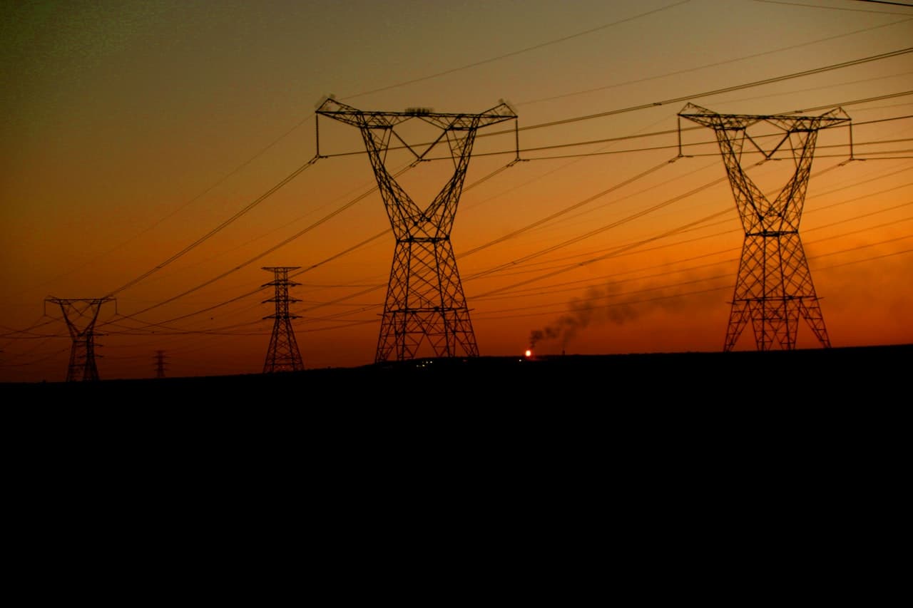
For electric and water utilities — manage grid assets, predict outages, and keep vegetation and wildfire risk off the lines.

For energy operators — site wells and pipelines, monitor facility integrity, and respond across vast field footprints.

For solar and wind developers — find connectable parcels and kill bad deals before the site visit.
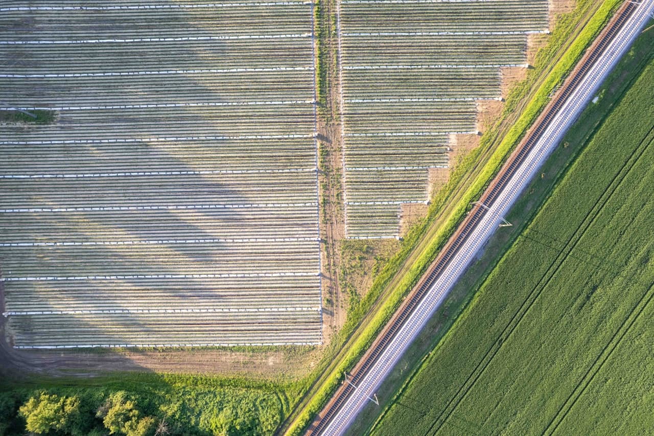
For agronomists, growers, and ag retailers — scout fields, prescribe inputs, and forecast yield from the cab or the office.
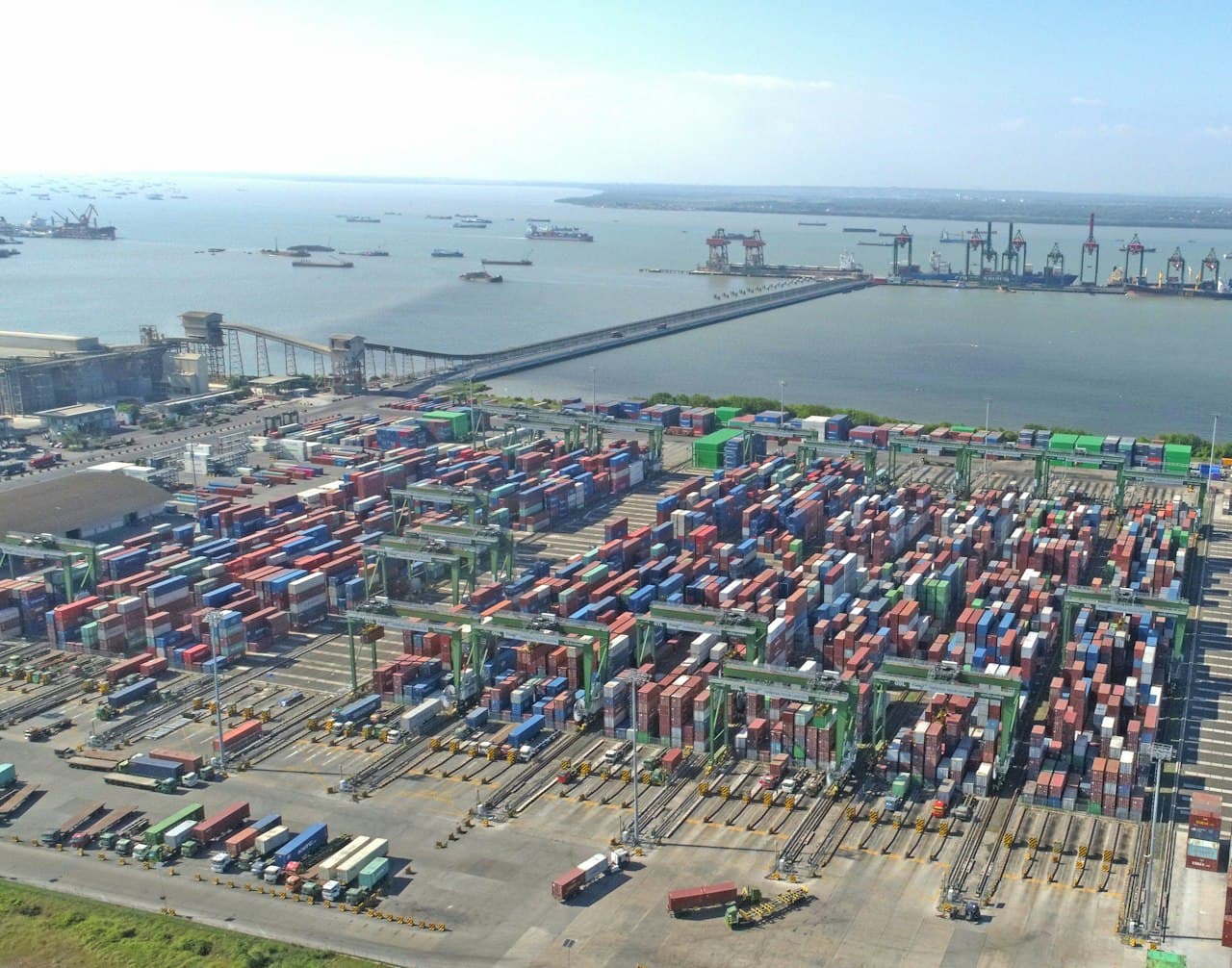
For fleet and last-mile ops — place depots, optimize routes, and protect delivery windows.

For city planners and analysts — test zoning, housing, and transit changes with real evidence.
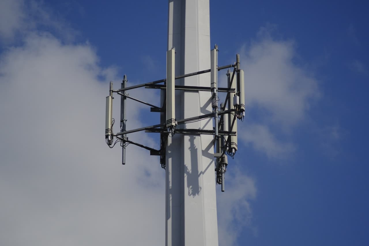
For ISPs and RF planners — target builds, win broadband grants, and prove coverage.

For city and county analysts — answer constituent and operations questions across siloed systems.
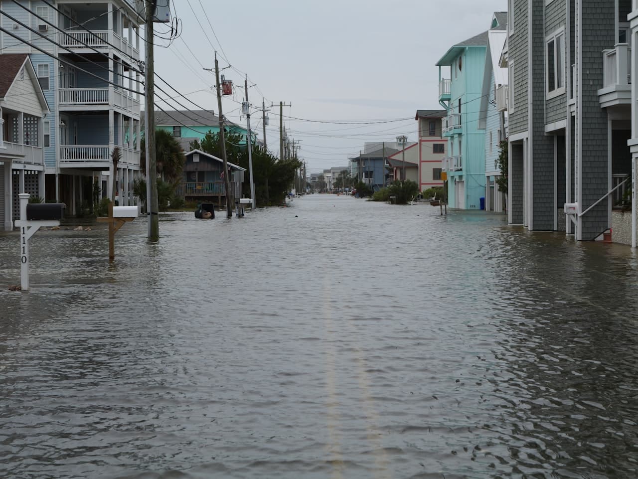
For emergency managers — map damage fast and route crews where they matter most.
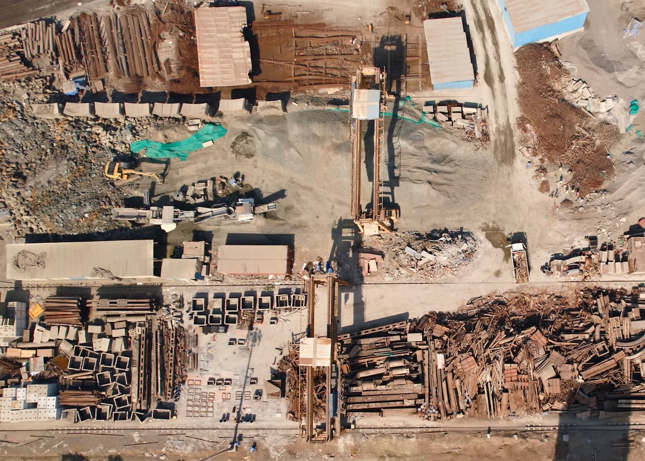
For GCs and project teams — track progress and inspect assets without another truck roll.

For land trusts, NGOs, and carbon teams — find priority land and verify outcomes for credible MRV.
Pricing
Start with Pro on your own files, add your team, or unlock satellite imagery and partner data like Placer.ai on Enterprise.
Everyday analysis with connectors and report exports.
View plan IndividualMaximum usage and limits for heavy analysis days.
View plan TeamsShared workspaces, central billing, and single sign-on.
View plan EnterpriseAdds satellite imagery and partner connectors like Placer.ai.
View planNIKA Agent SDK Coming soon
The same agent that powers NIKA Analyst, as an SDK you can drop into your own app — so your users can ask questions of their data and the world’s maps right where they already work. We’re building it now. Book a call to help shape it and get early access.
Add NIKA's location-aware analysis to your own app with a few lines of code.
Connect your users' files alongside live maps, imagery, and place data.
No geospatial pipelines to build — the agent handles the maps, data, and reasoning.
Download desktop